
Aerial Drone Surveying for Architectural Projects in Ormond Beach

See the Full Picture Before You Build
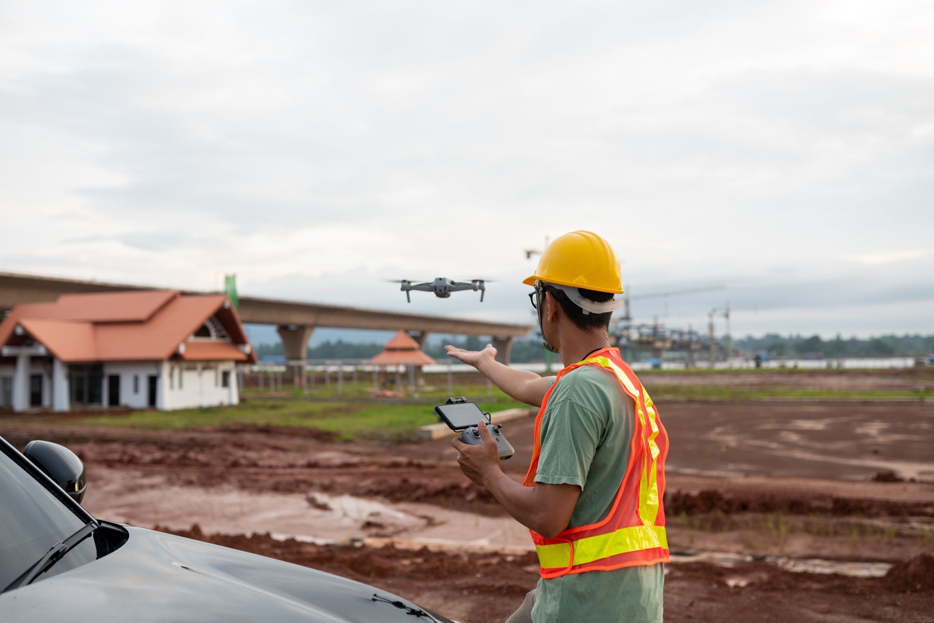
Accurate site information is critical to smart architectural planning. At Richard Brookfield, LLC, we provide licensed aerial drone survey services to capture high-resolution images, video, and data that inform better design decisions.
Based in Ormond Beach, we use drones to evaluate topography, views, shading, existing structures, and access—all before breaking ground. Whether you’re planning a home, commercial building, or development, drone surveys offer an affordable, fast, and insightful way to understand the project site in full context.
Why Use Drone Surveys in Architecture?
Traditional site surveys offer measurements. Drone surveys offer perspective.
Our drones provide aerial images and video that help you:
- Evaluate terrain, tree cover, and solar orientation
- Confirm access points and utility easements
- Analyze elevation changes and drainage paths
- Capture impressive visuals for project proposals
- Document site conditions before and after development
Drones allow us to spot challenges early, identify opportunities for optimization, and plan around natural features more effectively than ground-based views alone.
Benefits of Drone-Based Architecture Planning
- Improved Accuracy - Aerial images help verify design assumptions and ensure proper site orientation.
- Faster Site Evaluation - Gather essential visual data in a single site visit—no scaffolding, no ground crews.
- Stronger Visual Presentations - Enhance client and stakeholder understanding with striking visuals from above.
- Design Efficiency - Plan around sun paths, tree coverage, and terrain changes for smarter design.
- Better Communication - Share site visuals with engineers, contractors, and inspectors for clarity.
What Our Drone Services Include
We provide architectural drone surveys and aerial photography that integrate with your design process:
- High-Resolution Aerial Photography - Captures the full property and surrounding environment with accurate scale and detail.
- Site Mapping & Reference Imagery - Used alongside CAD drawings to verify orientation, setbacks, and layout options.
- Progress Photography - Document construction progress from above at multiple stages.
- Drone Video Flyovers - Dynamic aerial footage ideal for real estate, board presentations, or promotional materials.
- Pre-Construction Site Studies - Early scans to evaluate slope, tree cover, drainage, and neighboring structures.
All drone flights are conducted by licensed and insured operators, in compliance with FAA regulations.
Who Benefits from Our Drone Services?
- Homeowners planning new builds or additions
- Developers evaluating large parcels
- Real estate investors preparing for sale or design
- Contractors needing pre-construction documentation
- Project teams submitting plans to review boards
Drone surveys are available as standalone services or integrated into your full architectural design project.
Service Area
Our drone services support architectural planning across:
- Ormond Beach
- Daytona Beach
- Palm Coast
- Port Orange
- Flagler Beach
- Volusia & Flagler Counties
- Statewide project support available by request
FAQs – Aerial Drone Surveys
Are your drone services licensed and legal?
Yes. All flights are conducted under FAA guidelines by certified operators.
Can you overlay drone images with site plans?
Yes. We align drone images with CAD drawings to help evaluate fit, orientation, and layout options.
Is this different from a boundary survey?
Yes. Drone surveys provide visual site data but are not a substitute for licensed land surveys used for legal documentation.
Can I use drone videos for marketing?
Absolutely. Many clients request drone flyovers for use in real estate listings or investor packets.
Do you offer recurring or progress shots during construction?
Yes. We can capture site conditions at key intervals or milestones for recordkeeping or reporting.
Let’s Get the Full Picture
Every project starts with understanding the land. Let Richard Brookfield, LLC help you see your site from every angle with drone data that informs smarter, faster, and more successful design decisions.